Airbus Satellite Support Aids Two Antarctic Research Missions
Airbus said satellite imagery and communications supported an overland expedition and a vessel-based mission studying Antarctic ice, wildlife and ocean conditions.
Airbus said it provided satellite imagery and communications for the Under Antarctica expedition, led by glaciologist Heïdi Sevestre and explorer Matthieu Tordeur, and for the Persévérance 2026 mission led by Jean-Louis Étienne. The support helped teams conduct field research and share information from Antarctica.
Key details
- Under Antarctica took place from November 2025 to January 2026. The team completed an 80-day kite-ski crossing, covering a planned 4,000 kilometres.
- The team towed two ground-penetrating radars. One probed to 40 metres to study about 200 years of snow accumulation; the other examined ice formed about 130,000 years ago.
- Airbus supplied SPOT satellite imagery, MODIS basemaps and satellite communications. The team used communications to contact its support base, transfer data, receive technical advice and medical consultation, and conduct public outreach.
- Two live streams hosted by the explorers reached more than 6,000 children. Témoins Polaires workbooks reached 300,000 young people in 42 countries.
- Étienne led the Persévérance mission aboard the vessel Persévérance. Airbus employee Matthieu Lys accompanied the mission and coordinated its space activities.
- The mission surveyed Southern Ocean fauna, studied the ocean’s role in climate change and focused on the Mertz and Ninnis glaciers.
- Pléiades Neo and SPOT imagery, combined with altimetry data, supported a 3D glacier model used by the French National Centre for Scientific Research to monitor melting and measure ice flow speed.
- Pléiades Neo imagery helped identify Adélie penguin colonies on ice, supplementing estimates from an ornithologist aboard the vessel.
- The expedition tested an AI-supported medical assistance system developed by French startup OneTreck and connected by satellite.
- Measurements of ocean and sky colour from the vessel supported work to calibrate NASA’s PACE satellite data. The measurements contribute to estimates of phytoplankton, oxygen production and carbon dioxide sequestration.
Two live streams hosted by the Under Antarctica explorers reached more than 6,000 children.
Why it matters
Satellite imagery gave researchers a way to map glacier shape and identify penguin colonies from a distance, while field measurements added observations from the vessel. Satellite communications also linked remote teams with support and enabled data transfer from Antarctica.
More stories
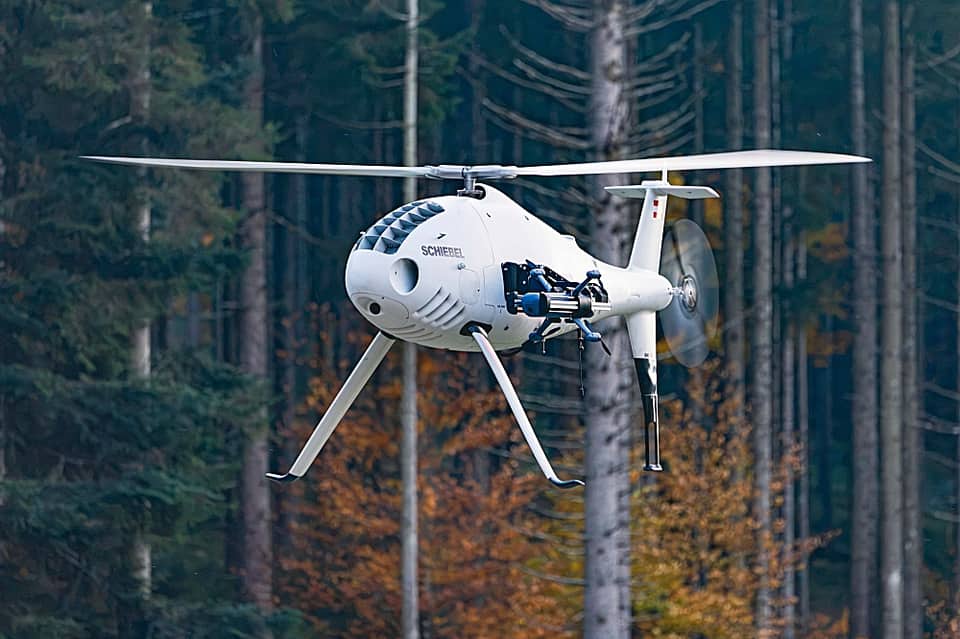
Schiebel and OSIRIS Poland Demonstrate S-100 Drone Deployment in Austria
Swarmer Completes Acquisition of Vataga Drone Intellectual Property
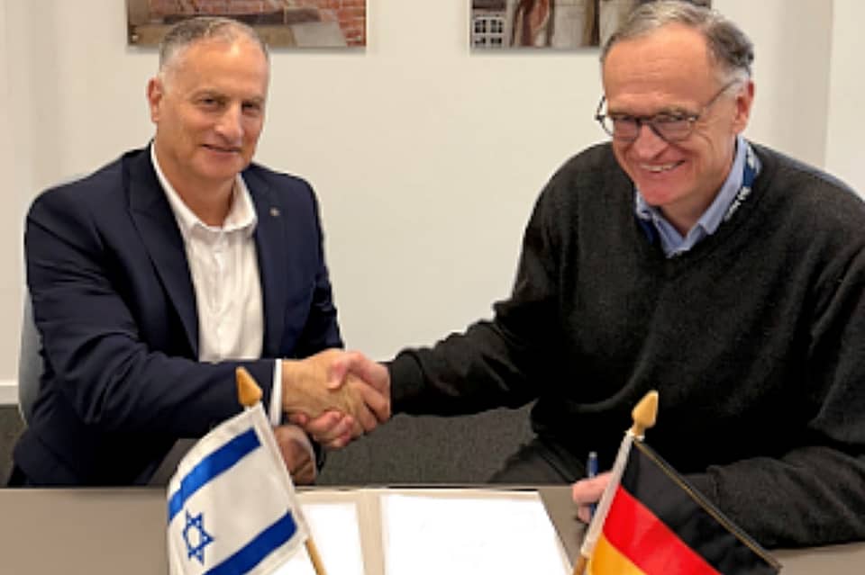
Airbus DS Airborne Solutions and Aeronautics Plan Orbiter 4 VTOL Production in Germany

FAA Requires Checks of Boeing 737NG Aircraft
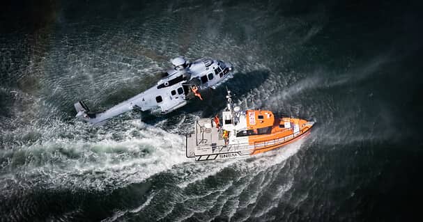
Netherlands selects Airbus H225M for special-operations support