Artemis II Launch Linked to Ionospheric Changes in GPS Study
Researchers used ground-based GPS measurements to examine ionospheric changes associated with the Artemis II launch from Florida.
FlyMarshall Newsroom1 min read
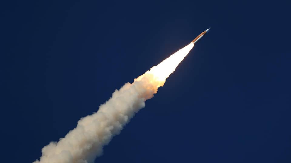
Photo: NASA/Michael DeMocker
Artemis II launched from Kennedy Space Center, Florida, on April 1, 2026. Researchers from National Cheng Kung University analyzed ground-based GPS network data to estimate how the rocket’s passage affected the ionosphere, the region of Earth’s upper atmosphere that can influence GPS signals.
Key details
- The researchers identified two large ionospheric disturbances associated with the rocket’s core stage and later upper-stage engine burns.
- The disturbances extended roughly 5,000 kilometers across the United States.
- Measurements corresponded to GPS positioning errors of several meters at ground stations.
- The upper-stage burns took place at about 185 kilometers altitude, more than an hour after liftoff.
- The study discussing the observations appeared as a preprint associated with Geophysical Research Letters.
Researchers identified two ionospheric disturbances spanning roughly 5,000 kilometers across the United States.
Why it matters
GPS signals pass through the ionosphere, where changes in electron density can affect positioning measurements. Researchers discussed possible implications for systems that rely on GPS, including autonomous vehicles and drones, but the material describes those effects as potential rather than documented disruptions.
More stories
Hawaii Astronomy Program Brings More Than 1,400 Students Together
Orbital Matter and EnduroSat Plan 2028 In-Space Manufacturing Mission
Starfish Space Ends SSPICY Mission After Losing Contact With Otter 24C

NordVPN Black Friday Deal Advertises $386.10 Off Its Complete Plan

Southern Taurids Set for a Second Peak on November 4–5